
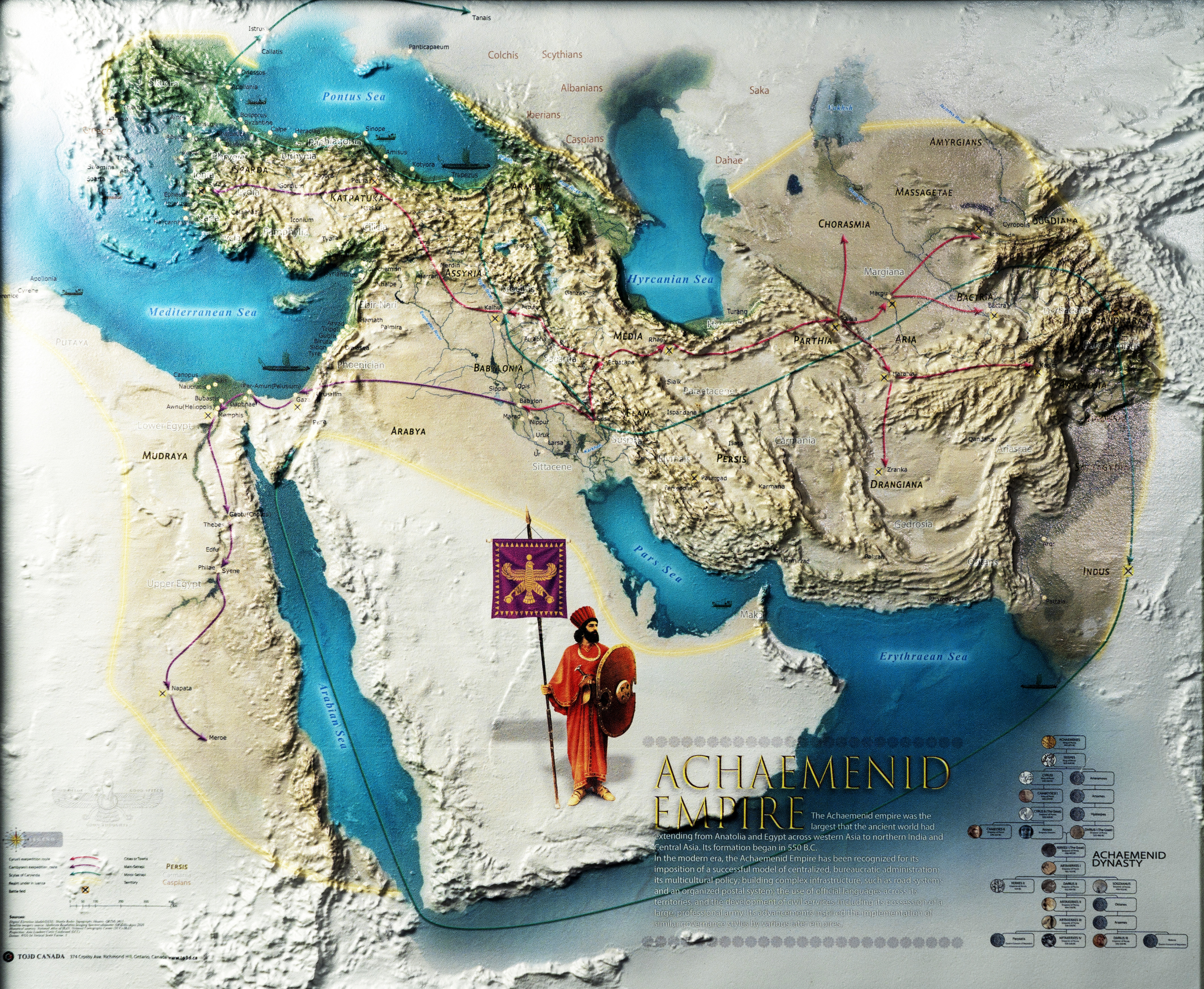
The Achaemenid Empire Relief Map
$250
Explore the geography of the Achaemenid Empire through a historical relief map that brings terrain and territory into focus.
Size: 73 × 60 cm. Choose a frame colour below.
Description
History, seen through the landscape
Bring the Achaemenid world into your home, office or study. This historical wall map combines geographic detail with relief shading, giving mountains, plains and routes a clear visual presence.
Explore the relationship between the empire’s territories and the landscapes that connected them. The map offers a distinctive focal point for anyone interested in Persian history, geography or cartography.
Choose the look for your space
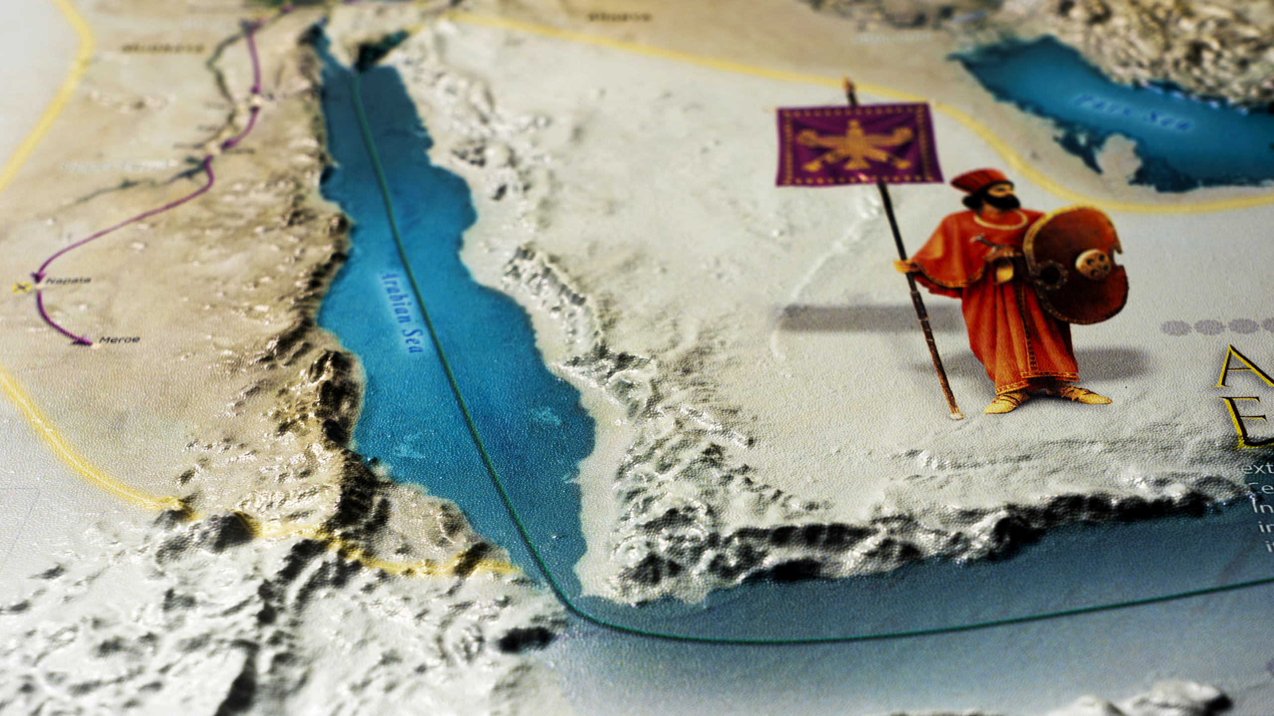
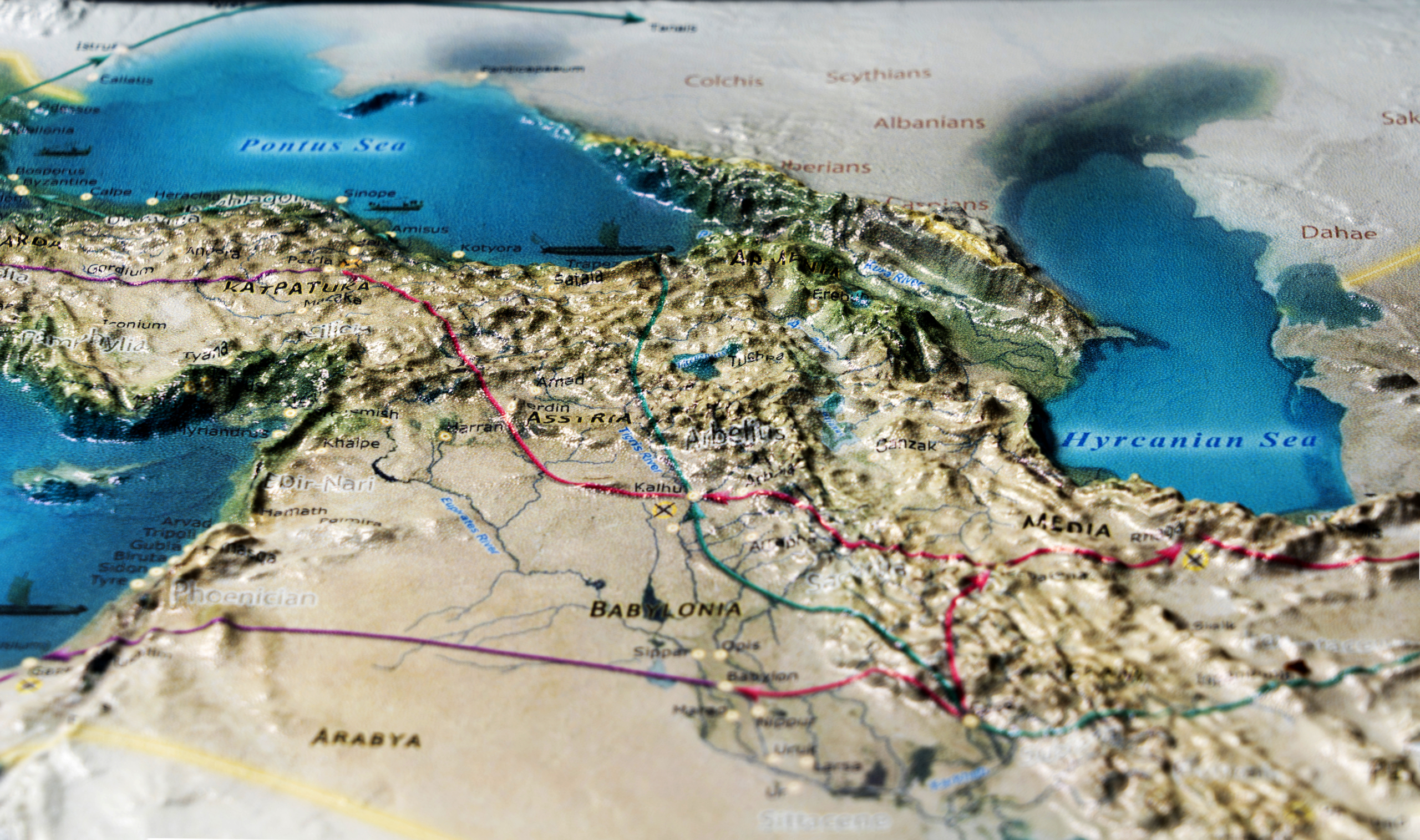
Use the gallery to explore the map and its close-up details. Select an available frame colour from the options above.
For questions about the map, framing or a custom project, contact TO3D before ordering.
Additional information
| Dimensions | 73 × 60 cm |
|---|
Related products
-
The Sassanid Empire Relief Map
$250 Add to cart -
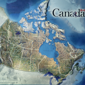
Canada
$250 Select options This product has multiple variants. The options may be chosen on the product page -
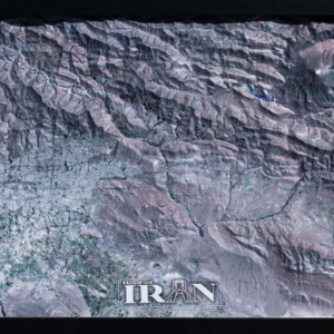
Tehran to Damavand
$199 Select options This product has multiple variants. The options may be chosen on the product page